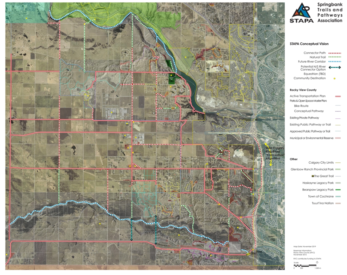
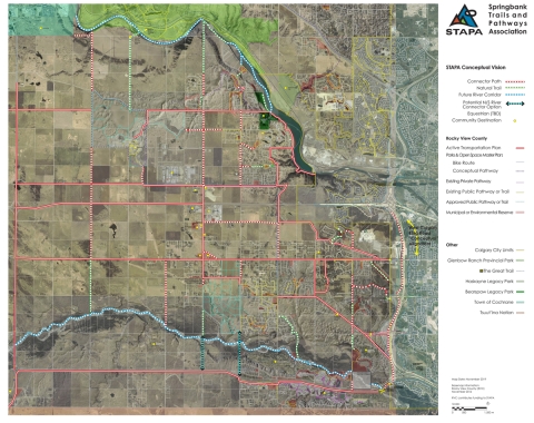
STAPA has compiled a conceptual map based on community feedback and our participation in the Rockyview Active Transportation Plan, that shows existing trails and pathways, as well as opportunities for future connections within Springbank communities. We have collaborated with Alberta Transportation and the City of Calgary about potential future alignments for regional pathways with existing and proposed transportation corridors. This map has been incorporated into the Springbank Area Structure Plan, to provide guidance about trails and pathways in future development.


